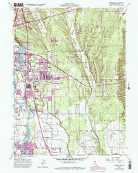
1957 Map of Enterprise
USGS Topo · Published 1984About this map
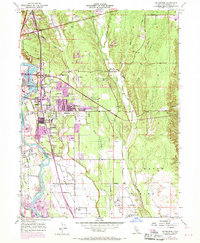
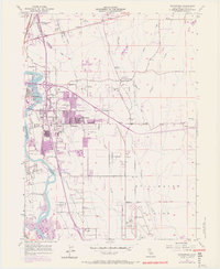
Redding and the expanding community of Enterprise define this mid-century portrait of Shasta County, showing the rapid transition from ranch lands to suburban residential blocks. The landscape is anchored by the Sacramento River and its western drainage, where the Churn Creek Bottom and Stillwater Plains reveal a traditional agricultural heritage being overtaken by new infrastructure. Significant post-war development is evident in the concentration of educational sites like Enterprise High Sch and Columbia Sch, alongside cultural landmarks such as the Drive-in Theater and Lassen Speedway. The map documents a network of water management through the Clover Creek drainage and the presence of the Redding Municipal Airport in the south, reflecting the city's role as a regional hub. Purple revisions from the late 1960s highlight the accelerating urban footprint through areas like Loomis Corners and the expansion of the City Boundary.
Find a feature on this map
42 named features on this map. Tap any name to fly to it.
Don’t see what you’re looking for? This feature index may not catch every label — zoom into the map to look around manually.
Map Details
Editions of this 1957 Enterprise Map
6 editions found
Other maps of this area

1890 · Red Bluff
USGS Topo · 1:250,000

1894 · Red Bluff
USGS Topo · 1:250,000

1901 · Redding
USGS Topo · 1:125,000

1932 · Olinda
USGS Topo · 1:31,680

1935 · Olinda
USGS Topo · 1:31,680

1944 · Redding
USGS Topo · 1:62,500

1944 · Tuscan Buttes
USGS Topo · 1:62,500

1946 · Redding
USGS Topo · 1:62,500

1947 · Tuscan Buttes
USGS Topo · 1:62,500

1947 · Anderson
USGS Topo · 1:62,500