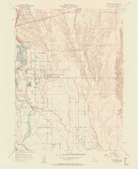
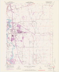
1957 Map of Enterprise
USGS Topo · Published 1958About this map
The Sacramento River carves through the landscape south of Redding, defining a region in transition during the late 1950s. The burgeoning community of Enterprise is central to this sheet, accompanied by suburban markers like Shasta Meadows and the Enterprise High Sch. To the southeast, the expansive Stillwater Plains are punctuated by the Redding Municipal Airport, showing the infrastructure of post-war growth in Shasta County.
Find a feature on this map
31 named features on this map. Tap any name to fly to it.
Don’t see what you’re looking for? This feature index may not catch every label — zoom into the map to look around manually.
Map Details
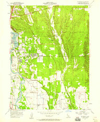
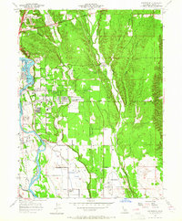
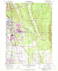
Editions of this 1957 Enterprise Map
6 editions found
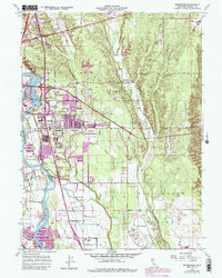
Other maps of this area

1890 · Red Bluff
USGS Topo · 1:250,000

1894 · Red Bluff
USGS Topo · 1:250,000

1901 · Redding
USGS Topo · 1:125,000

1932 · Olinda
USGS Topo · 1:31,680

1935 · Olinda
USGS Topo · 1:31,680

1944 · Redding
USGS Topo · 1:62,500

1944 · Tuscan Buttes
USGS Topo · 1:62,500

1946 · Redding
USGS Topo · 1:62,500

1947 · Tuscan Buttes
USGS Topo · 1:62,500

1947 · Anderson
USGS Topo · 1:62,500