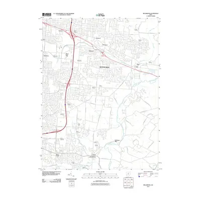
2010 Map of Bellbrook
USGS Topo · Published 2010About this map
Beavercreek and Bellbrook anchor this 2010 topographic record of Greene and Montgomery Counties, showcasing a landscape where suburban expansion meets long-standing rural roots. The region is defined by its complex network of waterways, including the Little Miami River and its various tributaries like Little Beaver Creek and Sugar Creek. A high density of local cemeteries, such as the Hawker Church Cemetery, Hering Cemetery, and Schmidt Cemetery, provides a wealth of data for genealogists tracing family names throughout the Greene County area.
Find a feature on this map
72 named features on this map. Tap any name to fly to it.
Don’t see what you’re looking for? This feature index may not catch every label — zoom into the map to look around manually.
Map Details
Editions of this 2010 Bellbrook Map
This is the sole edition of this map. No revisions or reprints were ever made.
Other maps of this area

1904 · Springfield
USGS Topo · 1:62,500

1904 · Dayton
USGS Topo · 1:62,500

1906 · Dayton
USGS Topo · 1:62,500

1906 · Springfield
USGS Topo · 1:62,500

1913 · Waynesville
USGS Topo · 1:62,500

1915 · Waynesville
USGS Topo · 1:62,500

1917 · Xenia
USGS Topo · 1:62,500

1947 · Columbus
USGS Topo · 1:250,000

1953 · Cincinnati
USGS Topo · 1:250,000

1955 · New Burlington
USGS Topo · 1:24,000