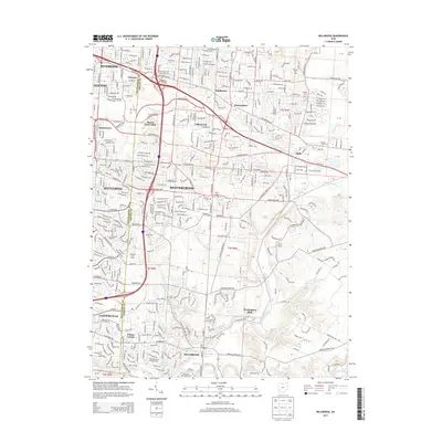
2013 Map of Bellbrook
USGS Topo · Published 2013About this map
The Little Miami River corridor defines the eastern edge of this modern landscape, where suburban growth from Dayton and Kettering meets the established communities of Bellbrook and Beavercreek. The map reveals a dense network of local history preserved in its burial grounds, including the Pioneer Cem and Bellbrook Cem near the center of town. These sites, along with others like the Schmidt Cem and Hering Cem, offer valuable reference points for genealogists tracing family ties to the region's early settlers.
Find a feature on this map
53 named features on this map. Tap any name to fly to it.
Don’t see what you’re looking for? This feature index may not catch every label — zoom into the map to look around manually.
Map Details
Editions of this 2013 Bellbrook Map
This is the sole edition of this map. No revisions or reprints were ever made.
Other maps of this area

1904 · Springfield
USGS Topo · 1:62,500

1904 · Dayton
USGS Topo · 1:62,500

1906 · Dayton
USGS Topo · 1:62,500

1906 · Springfield
USGS Topo · 1:62,500

1913 · Waynesville
USGS Topo · 1:62,500

1915 · Waynesville
USGS Topo · 1:62,500

1917 · Xenia
USGS Topo · 1:62,500

1947 · Columbus
USGS Topo · 1:250,000

1953 · Cincinnati
USGS Topo · 1:250,000

1955 · New Burlington
USGS Topo · 1:24,000