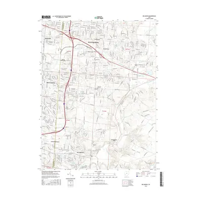
2016 Map of Bellbrook
USGS Topo · Published 2016About this map
Bellbrook and the surrounding Greene County landscapes reflect a dense network of suburban development and historical markers along the Little Miami River valley. The southern portion of the sheet is defined by the elevation changes around Sugar Cr and Little Sugar Creek, where numerous burial grounds like Pioneer Cem and Bellbrook Cem provide significant genealogical touchstones. Further north, the sprawling residential grids of Beavercreek and Kettering are bisected by major transit corridors like I-675 and Us 35.
Find a feature on this map
36 named features on this map. Tap any name to fly to it.
Don’t see what you’re looking for? This feature index may not catch every label — zoom into the map to look around manually.
Map Details
Editions of this 2016 Bellbrook Map
This is the sole edition of this map. No revisions or reprints were ever made.
Other maps of this area

1904 · Springfield
USGS Topo · 1:62,500

1904 · Dayton
USGS Topo · 1:62,500

1906 · Dayton
USGS Topo · 1:62,500

1906 · Springfield
USGS Topo · 1:62,500

1913 · Waynesville
USGS Topo · 1:62,500

1915 · Waynesville
USGS Topo · 1:62,500

1917 · Xenia
USGS Topo · 1:62,500

1947 · Columbus
USGS Topo · 1:250,000

1953 · Cincinnati
USGS Topo · 1:250,000

1955 · New Burlington
USGS Topo · 1:24,000