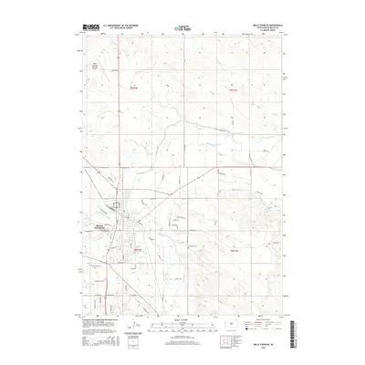
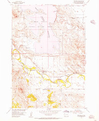
2015 Map of Belle Fourche
USGS Topo · Published 2015About this map
Belle Fourche serves as a critical junction in western South Dakota where the Belle Fourche River meets the Redwater River. This 2015 survey illustrates a landscape defined by water management and regional infrastructure, featuring a complex network of irrigation and transport including the Inlet Canal and Redwater Canal. The town's layout is grounded by established sites like Riverside Cem and the Belle Fourche Municipal Airport to the north. Smaller watercourses like Pool Cr, Crow Cr, and Willow Cr cross the surrounding prairie, while several local burial grounds, including Minnesota Cem and Pine Slope Cem, provide vital touchpoints for genealogists researching family history in Butte County. The presence of specialized roads like Diversion Dam Rd and Industrial St reflects the community's ongoing reliance on both its river-fed agriculture and its position as a regional trade hub.
Find a feature on this map
60 named features on this map. Tap any name to fly to it.
Don’t see what you’re looking for? This feature index may not catch every label — zoom into the map to look around manually.
Map Details
Editions of this 2015 Belle Fourche Map
This is the sole edition of this map. No revisions or reprints were ever made.
Other maps of this area

1905 · Saint Onge
USGS Topo · 1:62,500

1905 · Indian
USGS Topo · 1:62,500

1906 · Two Top
USGS Topo · 1:62,500

1907 · Belle Fourche
USGS Topo · 1:125,000

1907 · Redwater
USGS Topo · 1:62,500

1953 · Rapid City
USGS Topo · 1:250,000
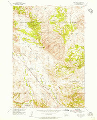
1954 · Saint Onge
USGS Topo · 1:24,000
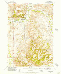
1954 · Jolly
USGS Topo · 1:24,000
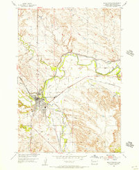
1954 · Belle Fourche
USGS Topo · 1:24,000
1954 · Fruitdale
USGS Topo · 1:24,000