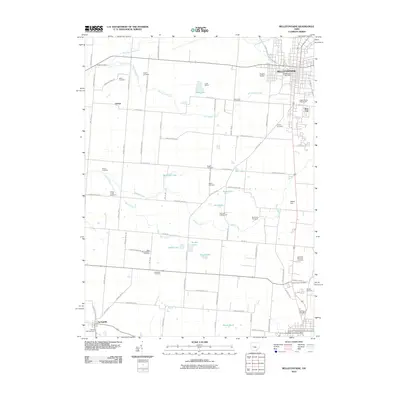
2010 Map of Bellefontaine
USGS Topo · Published 2010About this map
Bellefontaine serves as the central hub of this Logan County landscape, where the urban street grid transitions into an expansive network of rural township and county roads. The map captures a detailed inventory of the area's social and burial geography, documenting over fifteen distinct cemeteries such as Parish Cemetery, Zeigler Cemetery, and South Union Cemetery. Significant local landmarks include the Logan County Fairgrounds on the city's eastern edge and the Tangers Airport to the north.
Find a feature on this map
84 named features on this map. Tap any name to fly to it.
Don’t see what you’re looking for? This feature index may not catch every label — zoom into the map to look around manually.
Map Details
Editions of this 2010 Bellefontaine Map
This is the sole edition of this map. No revisions or reprints were ever made.
Other maps of this area

1913 · Bellefontaine
USGS Topo · 1:48,000

1913 · East Liberty
USGS Topo · 1:62,500

1914 · St. Paris
USGS Topo · 1:62,500

1914 · Mechanicsburg
USGS Topo · 1:62,500

1915 · Bellefontaine
USGS Topo · 1:62,500

1915 · East Liberty
USGS Topo · 1:62,500

1916 · Mechanicsburg
USGS Topo · 1:62,500

1916 · St. Paris
USGS Topo · 1:62,500

1944 · East Liberty
USGS Topo · 1:62,500

1944 · Mechanicsburg
USGS Topo · 1:62,500