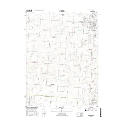
2016 Map of Bellefontaine
USGS Topo · Published 2016About this map
Bellefontaine serves as the central hub of this landscape, where the urban grid of streets like W Sandusky Ave and N Main St gives way to the agricultural and aquatic systems of central Ohio. The area is defined by a high density of rural burial grounds, including the New Philadelphia Cem and Miller Cem, which provide significant points of reference for local genealogy. The hydrological network is particularly intricate here, with Blue Jacket Cr and Stony Cr meandering through the terrain, punctuated by numerous glacial water bodies such as Silver Lake, Ruby Lake, and McMillen Lake. South of the city, the Logan Co and Champaign Co line marks a political transition near West Liberty. The presence of the Bellefontaine Regional Airport and the prominent Jewel Hill stand as major local landmarks amidst the township road network.
Find a feature on this map
131 named features on this map. Tap any name to fly to it.
Don’t see what you’re looking for? This feature index may not catch every label — zoom into the map to look around manually.
Map Details
Editions of this 2016 Bellefontaine Map
This is the sole edition of this map. No revisions or reprints were ever made.
Other maps of this area

1913 · Bellefontaine
USGS Topo · 1:48,000

1913 · East Liberty
USGS Topo · 1:62,500

1914 · St. Paris
USGS Topo · 1:62,500

1914 · Mechanicsburg
USGS Topo · 1:62,500

1915 · Bellefontaine
USGS Topo · 1:62,500

1915 · East Liberty
USGS Topo · 1:62,500

1916 · Mechanicsburg
USGS Topo · 1:62,500

1916 · St. Paris
USGS Topo · 1:62,500

1944 · East Liberty
USGS Topo · 1:62,500

1944 · Mechanicsburg
USGS Topo · 1:62,500