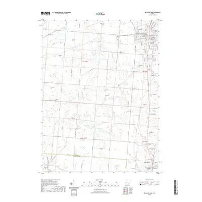
2019 Map of Bellefontaine
USGS Topo · Published 2019About this map
Bellefontaine serves as the regional anchor on this Logan County landscape, with the Logan County Courthouse marking the civic center of the city. The town's grid expands toward Iron City and is flanked by numerous smaller communities like Gretna and West Liberty. The terrain is defined by a dense network of glacial water bodies, including Silver Lake, Twin Lakes, and McMillen Lake, which drain through the Mad River and its various tributaries.
Find a feature on this map
70 named features on this map. Tap any name to fly to it.
Don’t see what you’re looking for? This feature index may not catch every label — zoom into the map to look around manually.
Map Details
Editions of this 2019 Bellefontaine Map
This is the sole edition of this map. No revisions or reprints were ever made.
Other maps of this area

1913 · Bellefontaine
USGS Topo · 1:48,000

1913 · East Liberty
USGS Topo · 1:62,500

1914 · St. Paris
USGS Topo · 1:62,500

1914 · Mechanicsburg
USGS Topo · 1:62,500

1915 · Bellefontaine
USGS Topo · 1:62,500

1915 · East Liberty
USGS Topo · 1:62,500

1916 · Mechanicsburg
USGS Topo · 1:62,500

1916 · St. Paris
USGS Topo · 1:62,500

1944 · East Liberty
USGS Topo · 1:62,500

1944 · Mechanicsburg
USGS Topo · 1:62,500