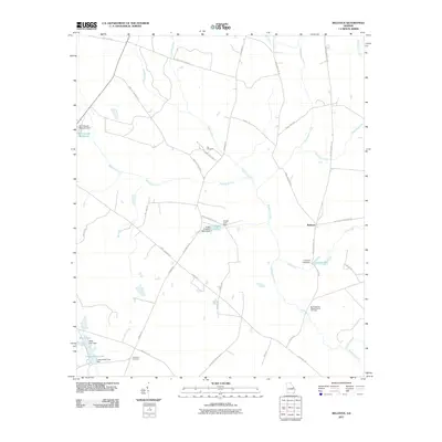
2011 Map of Bellevue
USGS Topo · Published 2011About this map
Bellevue and its surrounding agricultural lands are defined by a network of plantation roads and managed water resources in this 2011 survey of Burke County. The settlement patterns are anchored by several historic family and religious landmarks, notably the Big Buckhead Baptist Church and its adjacent Big Buckhead Baptist Church Cemetery, which speak to long-standing community roots. The rural landscape is heavily marked by water management for local industry and farming, featuring systems like the McCullough Millpond and Knight Lake, the latter supported by the Knight Lake Dam and the Knight Irrigation Dam Upper.
Find a feature on this map
45 named features on this map. Tap any name to fly to it.
Don’t see what you’re looking for? This feature index may not catch every label — zoom into the map to look around manually.
Map Details
Editions of this 2011 Bellevue Map
This is the sole edition of this map. No revisions or reprints were ever made.
Other maps of this area

1919 · Gough
USGS Topo · 1:62,500

1920 · Millen
USGS Topo · 1:62,500

1920 · Greens Cut
USGS Topo · 1:62,500

1943 · Greens Cut
USGS Topo · 1:62,500

1943 · Millen
USGS Topo · 1:62,500

1943 · Augusta East
USGS Topo · 1:125,000

1943 · Millen
USGS Topo · 1:125,000

1947 · Savannah
USGS Topo · 1:250,000

1948 · Savannah
USGS Topo · 1:250,000

1948 · Gough
USGS Topo · 1:62,500