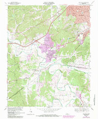
1968 Map of Bellevue
USGS Topo · Published 1984About this map
Bellevue and its surrounding communities in western Davidson County are defined by the winding course of the Harpeth River, which creates distinctive loops like Beech Bend and Sawyer Bend. This survey, revised in the late 1960s with later urban updates, shows the suburban expansion of West Meade and Forest Hills pressing against the large green spaces of Percy Warner Park and Edwin Warner Park.
Find a feature on this map
75 named features on this map. Tap any name to fly to it.
Don’t see what you’re looking for? This feature index may not catch every label — zoom into the map to look around manually.
Map Details
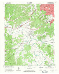
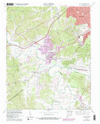
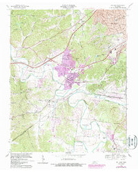
Editions of this 1968 Bellevue Map
4 editions found
Other maps of this area

1901 · Colombia
USGS Topo · 1:125,000

1903 · Nashville
USGS Topo · 1:125,000

1909 · Franklin
USGS Topo · 1:62,500

1930 · White Bluff
USGS Topo · 1:62,500

1932 · Nashville
USGS Topo · 1:62,500

1933 · White Bluff
USGS Topo · 1:62,500

1946 · Leipers Fork
USGS Topo · 1:24,000

1949 · Leipers Fork
USGS Topo · 1:24,000

1949 · Franklin
USGS Topo · 1:24,000

1951 · Fairview
USGS Topo · 1:24,000