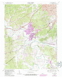
1968 Map of Bellevue
USGS Topo · Published 1988About this map
The Harpeth River meanders in dramatic loops through this portion of Davidson County, creating distinct geographic landforms like Hows Bend, Beech Bend, and Sawyer Bend. This late-1960s landscape, with photorevised updates from the early 1980s, shows the suburban expansion of Bellevue and West Meade as they pressed against the rural character of the region. The infrastructure of the era is evidenced by the Seaboard Coast Line railroad and the notable Newsom Drag Strip near the western edge. Cultural and educational anchors such as Bellevue High Sch, Gower Sch, and Harpeth Heights Ch serve the growing residential communities. To the south, the terrain becomes more varied around Backbone Ridge, where smaller settlements like Linton and Bethlehem maintain a more traditional rural footprint amidst the winding waters of the Little Harpeth River.
Find a feature on this map
56 named features on this map. Tap any name to fly to it.
Don’t see what you’re looking for? This feature index may not catch every label — zoom into the map to look around manually.
Map Details
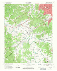
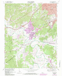
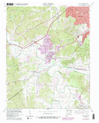
Editions of this 1968 Bellevue Map
4 editions found
Other maps of this area

1901 · Colombia
USGS Topo · 1:125,000

1903 · Nashville
USGS Topo · 1:125,000

1909 · Franklin
USGS Topo · 1:62,500

1930 · White Bluff
USGS Topo · 1:62,500

1932 · Nashville
USGS Topo · 1:62,500

1933 · White Bluff
USGS Topo · 1:62,500

1946 · Leipers Fork
USGS Topo · 1:24,000

1949 · Leipers Fork
USGS Topo · 1:24,000

1949 · Franklin
USGS Topo · 1:24,000

1951 · Fairview
USGS Topo · 1:24,000