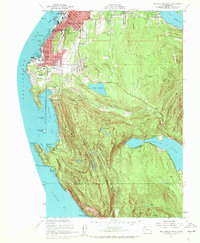
1954 Map of Bellingham South
USGS Topo · Published 1959About this map
The campus of Western Washington College and the surrounding neighborhoods of South Bellingham dominate the northern portion of this 1954 survey, showing the city's southward expansion toward the coast. The topography transitions quickly from the urban grid of Bellingham and Happy Valley into the steep, densely forested slopes of Lookout Mountain and Chuckanut Mountain. Along the shoreline, the winding route of Chuckanut Drive and the Northern Pacific railroad track the narrow corridor between the mountains and the water, passing through Chuckanut Village and the early boundaries of Larrabee State Park. The map also captures the varied freshwater resources of the region, from the residential edges of Whatcom Lake at Geneva to more secluded upland waters like Cedar Lake, Fragrance Lake, and Lost Lake tucked deep within the rugged terrain south of Lake Padden.
Find a feature on this map
53 named features on this map. Tap any name to fly to it.
Don’t see what you’re looking for? This feature index may not catch every label — zoom into the map to look around manually.
Map Details
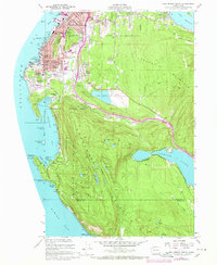
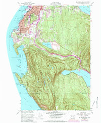
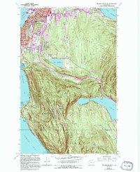
Editions of this 1954 Bellingham South Map
4 editions found
Other maps of this area

1906 · Sumas
USGS Topo · 1:62,500

1907 · Blaine
USGS Topo · 1:62,500

1908 · Sumas
USGS Topo · 1:62,500

1918 · Samish Lake
USGS Topo · 1:62,500

1943 · Anacortes
USGS Topo · 1:62,500

1951 · Anacortes
USGS Topo · 1:62,500

1952 · Lake Whatcom
USGS Topo · 1:24,000

1952 · Lawrence
USGS Topo · 1:24,000

1952 · Alger
USGS Topo · 1:24,000

1952 · Ferndale
USGS Topo · 1:24,000