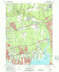
1967 Map of Bellport
USGS Topo · Published 1969About this map
Brookhaven National Laboratory dominates the northeastern landscape of this mid-century survey, illustrating the significant federal footprint in Brookhaven during the atomic era. The residential character of south-shore communities like Bellport and East Patchogue is mapped in detail, showing a mix of established village grids and newer suburban developments. The inland area reflects a landscape in transition, where the Long Island Expressway and Sunrise Highway cut through the central corridor, fundamentally altering the connectivity of settlements like Yaphank and Medford.
Find a feature on this map
82 named features on this map. Tap any name to fly to it.
Don’t see what you’re looking for? This feature index may not catch every label — zoom into the map to look around manually.
Map Details
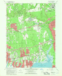
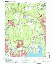
Editions of this 1967 Bellport Map
Other maps of this area

1902 · Setauket
USGS Topo · 1:62,500

1902 · Fire Island
USGS Topo · 1:62,500

1903 · Fire Island
USGS Topo · 1:62,500

1904 · Setauket
USGS Topo · 1:62,500

1904 · Islip
USGS Topo · 1:125,000

1904 · Moriches
USGS Topo · 1:62,500

1919 · Setauket
USGS Topo · 1:62,500

1942 · Islip
USGS Topo · 1:125,000

1947 · Bellport
USGS Topo · 1:24,000

1947 · Howells Point
USGS Topo · 1:24,000