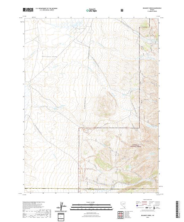
2021 Map of Belmont Creek
USGS Topo · Published 2021About this map
Huntington Valley and the high drainages of the Humboldt National Forest define this landscape along the border of Elko and White Pine counties. The map documents a complex network of springs and riparian corridors essential to high-desert life, including Belmont Springs, Homestead Spring, and School Creek Spring. The small settlement of Sestanovich sits near the southern edge of the quadrangle, serving as a rare point of human habitation in a region primarily defined by water management and forest service access. The terrain is deeply inscribed with various trails and forest roads, such as the Mitchell Ranch Trl and Schoolhouse Creek, which follow the natural contours of the mountain spurs and creek beds. This 2021 survey provides a clear view of how ranching and forestry infrastructure, like the Pipeline Road and multiple trough trails, integrate with the natural hydrography of Belmont Creek and Sherman Creek.
Find a feature on this map
73 named features on this map. Tap any name to fly to it.
Don’t see what you’re looking for? This feature index may not catch every label — zoom into the map to look around manually.
Map Details
Editions of this 2021 Belmont Creek Map
This is the sole edition of this map. No revisions or reprints were ever made.
Other maps of this area

1934 · Jiggs
USGS Topo · 1:125,000

1937 · Jiggs
USGS Topo · 1:125,000

1955 · Elko
USGS Topo · 1:250,000

1956 · Robinson Mtn
USGS Topo · 1:62,500

1958 · Elko
USGS Topo · 1:250,000

1959 · Jiggs
USGS Topo · 1:62,500

1959 · Railroad Pass
USGS Topo · 1:62,500

1959 · Sherman Mtn
USGS Topo · 1:62,500

1962 · Elko
USGS Topo · 1:250,000

1965 · Elko
USGS Topo · 1:250,000