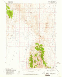
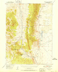
1959 Map of Railroad Pass
USGS Topo · Published 1960About this map
The Diamond Mountains dominate the landscape of this 1959 survey, serving as a high-altitude spine where the boundaries of Elko, Eureka, and White Pine counties converge. At the center of this transition is Railroad Pass, a strategic topographic notch separating the high peaks from the broad basins. The map illustrates a classic Great Basin environment, where seasonal water sources like Bailey Spring and Dora Spring are critical anchors for local activity.
Find a feature on this map
35 named features on this map. Tap any name to fly to it.
Don’t see what you’re looking for? This feature index may not catch every label — zoom into the map to look around manually.
Map Details
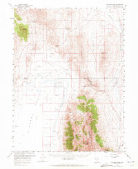
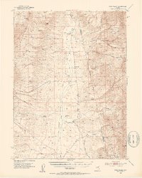
Editions of this 1959 Railroad Pass Map
2 editions found
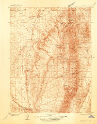
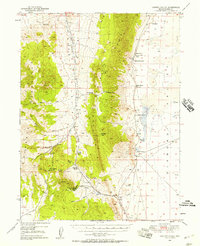
Other maps of this area

1926 · Roberts Mountains
USGS Topo · 1:250,000

1929 · Roberts Mountains
USGS Topo · 1:250,000

1934 · Jiggs
USGS Topo · 1:125,000
1937 · Mineral Hill
USGS Topo · 1:48,000

1937 · Jiggs
USGS Topo · 1:125,000

1943 · Mineral Hill
USGS Topo · 1:62,500
1949 · Garden Valley
USGS Topo · 1:62,500
1951 · Garden Valley
USGS Topo · 1:62,500
1952 · Pine Valley
USGS Topo · 1:62,500

1955 · Millett
USGS Topo · 1:250,000