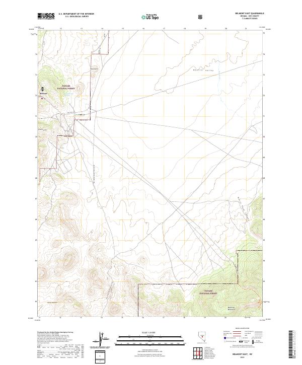
2021 Map of Belmont East
USGS Topo · Published 2021About this map
Belmont stands at the western edge of this 2021 survey, serving as a gateway to the high-desert landscapes of Monitor Valley. Situated within the Toiyabe National Forest, the map records a terrain defined by high elevations and isolated water sources like Combination Spring. The local geography is marked by distinctive family and descriptive landmarks, ranging from the southern peaks of the McKinney Mountains and the volcanic profiles of the Black Buttes to the interestingly named Horse Heaven plateau.
Find a feature on this map
19 named features on this map. Tap any name to fly to it.
Don’t see what you’re looking for? This feature index may not catch every label — zoom into the map to look around manually.
Map Details
Editions of this 2021 Belmont East Map
This is the sole edition of this map. No revisions or reprints were ever made.
Other maps of this area

1956 · Tonopah
USGS Topo · 1:250,000

1959 · Tonopah
USGS Topo · 1:250,000

1962 · Tonopah
USGS Topo · 1:250,000

1971 · Belmont East
USGS Topo · 1:24,000

1971 · Corcoran Canyon
USGS Topo · 1:24,000

1971 · Barley Creek
USGS Topo · 1:24,000
1971 · Elkhorn Canyon
USGS Topo · 1:24,000

1971 · Belmont West
USGS Topo · 1:24,000

1971 · Jefferson
USGS Topo · 1:24,000
1971 · McCann Canyon
USGS Topo · 1:24,000