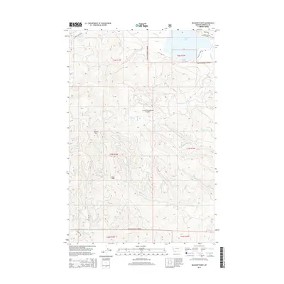
2014 Map of Belmont Point
USGS Topo · Published 2014About this map
Lolo National Forest dominates this section of Missoula County, where the landscape is defined by the high drainage basins of the Clearwater River system. In the northeast, Placid Lake serves as a primary water feature, fed by Placid Cr and Boles Cr. The terrain rises sharply toward the south and west, reaching a significant summit at Belmont Point and along the spine of Game Ridge.
Find a feature on this map
30 named features on this map. Tap any name to fly to it.
Don’t see what you’re looking for? This feature index may not catch every label — zoom into the map to look around manually.
Map Details
Editions of this 2014 Belmont Point Map
This is the sole edition of this map. No revisions or reprints were ever made.
Other maps of this area

1902 · Ovando
USGS Topo · 1:125,000

1903 · Bonner
USGS Topo · 1:125,000

1905 · Ovando
USGS Topo · 1:125,000

1919 · Drummond
USGS Topo · 1:125,000

1921 · Drummond
USGS Topo · 1:125,000

1921 · Elbow Lake
USGS Topo · 1:125,000

1947 · Butte
USGS Topo · 1:250,000

1955 · Choteau
USGS Topo · 1:250,000

1957 · Choteau
USGS Topo · 1:250,000

1958 · Butte
USGS Topo · 1:250,000