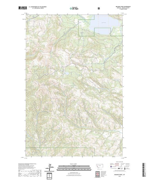
2024 Map of Belmont Point
USGS Topo · Published 2024About this map
Lolo National Forest dominates this mountain landscape in western Montana, where the terrain transitions from the high peaks of Belmont Point and Game Ridge down into fertile drainages. This recent survey by the U.S. Geological Survey details a network of vital waterways, including Placid Creek and Boles Creek, which feed into the prominent Placid Lake in the northeastern corner. The map illustrates a complex of forestry roads and recreational access points such as S Placid Lake Rd and Enchanted Forest Rd.
Find a feature on this map
31 named features on this map. Tap any name to fly to it.
Don’t see what you’re looking for? This feature index may not catch every label — zoom into the map to look around manually.
Map Details
Editions of this 2024 Belmont Point Map
This is the sole edition of this map. No revisions or reprints were ever made.
Other maps of this area

1902 · Ovando
USGS Topo · 1:125,000

1903 · Bonner
USGS Topo · 1:125,000

1905 · Ovando
USGS Topo · 1:125,000

1919 · Drummond
USGS Topo · 1:125,000

1921 · Drummond
USGS Topo · 1:125,000

1921 · Elbow Lake
USGS Topo · 1:125,000

1947 · Butte
USGS Topo · 1:250,000

1955 · Choteau
USGS Topo · 1:250,000

1957 · Choteau
USGS Topo · 1:250,000

1958 · Butte
USGS Topo · 1:250,000