Loading...
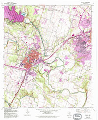
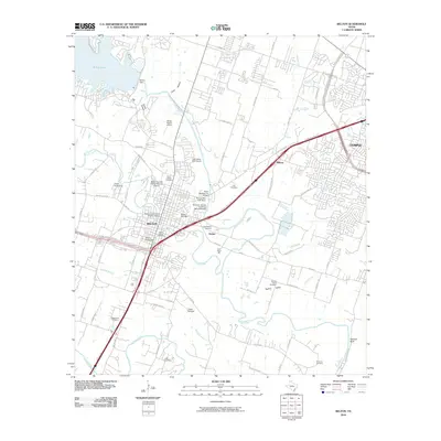
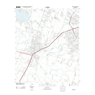
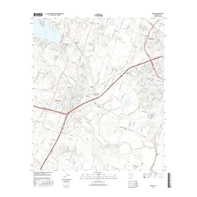
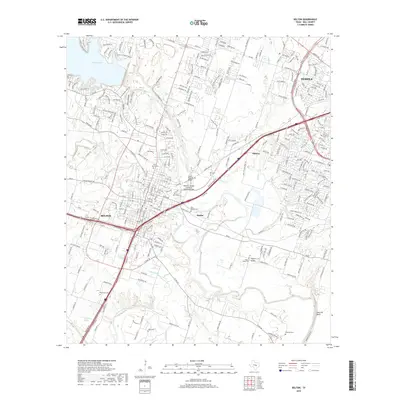
Loading map...1965 Map of Belton
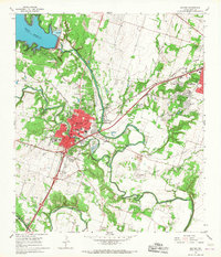
USGS Topo · Published 1993About this map
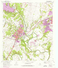
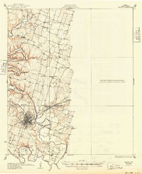
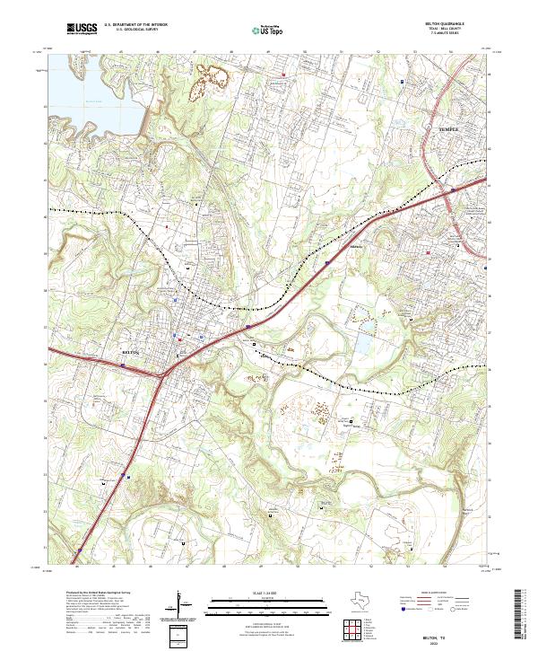
Belton sits at the confluence of central Texas history, where the Leon River meets the waters of the massive Belton Lake. This 1960s survey, updated in the early 1990s, documents the suburban expansion between Belton and Temple, highlighted by the Temple Corporate Boundary and the developing infrastructure along S General Bruce Drive. The landscape is a mix of civic growth and rural remnants, featuring the Bell County Expo Center alongside established landmarks like the Filtration Plant and the Belton Dam.
Find a feature on this map
79 named features on this map. Tap any name to fly to it.
Don’t see what you’re looking for? This feature index may not catch every label — zoom into the map to look around manually.
Map Details
Date Portrayed1965
Date Published1993
PublisherU.S. Geological Survey
Map TypeTopographic
Scale1:24,000
Physical Dimensions22.1 x 27 inches
Editions of this 1965 Belton Map
3 editions found
Historical Maps of Temple Through Time
7 maps found
Featured Locations
Source Details
SourceU.S. Geological Survey
CopyrightPublic Domain