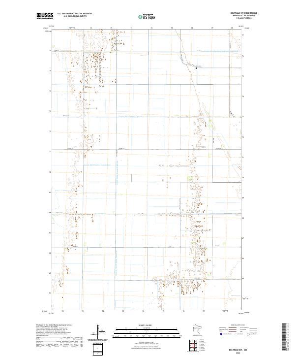
2022 Map of Beltrami SW
USGS Topo · Published 2022About this map
The agricultural landscape of t148n r47w and surrounding townships in Polk County is defined by a sophisticated water management system. This 2022 survey illustrates the vital role of drainage in the Red River Valley, featuring prominent waterways such as Judicial Ditch Number Fifty-seven and County Ditch Number Seventythree. These engineered channels intersect the grid of township roads, including Co HWY 1 and 310th Ave SW, facilitating the region's intensive farming.
Find a feature on this map
21 named features on this map. Tap any name to fly to it.
Don’t see what you’re looking for? This feature index may not catch every label — zoom into the map to look around manually.
Map Details
Editions of this 2022 Beltrami SW Map
This is the sole edition of this map. No revisions or reprints were ever made.
Other maps of this area

1918 · Hendrum
USGS Topo · 1:62,500

1919 · Eldred
USGS Topo · 1:62,500

1919 · Beltrami
USGS Topo · 1:62,500

1924 · Ada
USGS Topo · 1:62,500

1952 · Grand Forks
USGS Topo · 1:250,000

1956 · Grand Forks
USGS Topo · 1:250,000

1963 · Shelly
USGS Topo · 1:24,000

1964 · Beltrami
USGS Topo · 1:24,000

1964 · Beltrami SW
USGS Topo · 1:24,000

1964 · Girard
USGS Topo · 1:24,000