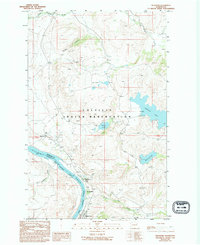
1989 Map of Belvedere
USGS Topo · Published 1994About this map
The Colville Indian Reservation dominates this landscape, showing a diverse network of lakes and drainage systems within the Columbia River basin. Along the southwestern bend of the Rufus Woods Lake section of the Columbia River, small settlements like Seatons Grove, Koontzville, and Elmer City cluster near the water's edge. These communities represent the residential heart of the quadrangle, connected by Route 155 as it follows the river valley.
Find a feature on this map
19 named features on this map. Tap any name to fly to it.
Don’t see what you’re looking for? This feature index may not catch every label — zoom into the map to look around manually.
Map Details
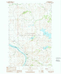
Editions of this 1989 Belvedere Map
2 editions found
Other maps of this area

1948 · Grand Coulee Dam
USGS Topo · 1:62,500

1950 · Grand Coulee Dam
USGS Topo · 1:62,500

1950 · Nespelem
USGS Topo · 1:62,500

1950 · Alameda Flat
USGS Topo · 1:62,500

1952 · Alameda Flat
USGS Topo · 1:62,500

1953 · Ritzville
USGS Topo · 1:250,000

1954 · Okanogan
USGS Topo · 1:250,000

1958 · Okanogan
USGS Topo · 1:250,000

1959 · Ritzville
USGS Topo · 1:250,000

1965 · Ritzville
USGS Topo · 1:250,000