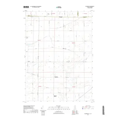
2018 Map of Belvidere NE
USGS Topo · Published 2018About this map
Poplar Grove and the surrounding rural townships of northern Boone County are defined by a grid of farm-to-market roads and the winding paths of several creeks. The Illinois-Wisconsin border serves as the northern boundary, with the settlement of Bergen situated directly along State Line Rd. The landscape is largely agricultural, punctuated by small crossroads communities like Blaine, Hunter, and Beaverton Crossroads, each maintaining its own distinct local identity.
Find a feature on this map
46 named features on this map. Tap any name to fly to it.
Don’t see what you’re looking for? This feature index may not catch every label — zoom into the map to look around manually.
Map Details
Editions of this 2018 Belvidere NE Map
This is the sole edition of this map. No revisions or reprints were ever made.
Other maps of this area

1893 · Delavan
USGS Topo · 1:62,500

1893 · Shopiere
USGS Topo · 1:62,500

1918 · Belvidere
USGS Topo · 1:62,500

1932 · Harvard
USGS Topo · 1:48,000

1937 · Harvard
USGS Topo · 1:62,500

1944 · Belvidere
USGS Topo · 1:62,500

1954 · Rockford
USGS Topo · 1:250,000

1955 · Rockford
USGS Topo · 1:250,000

1958 · Rockford
USGS Topo · 1:250,000
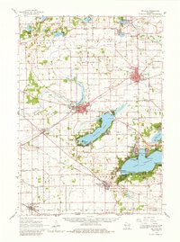
1960 · Delavan
USGS Topo · 1:62,500