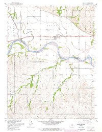
1953 Map of Belvue
USGS Topo · Published 1978About this map
Belvue sits along the Union Pacific tracks in the Kaw Valley, a landscape defined by the winding course of the Kansas River. This 1953 survey, updated through the 1970s, captures the agricultural heart of the region where the river serves as the Pottawatomie Co Wabaunsee Co boundary. The map illustrates a developed rural infrastructure centered around local waterways like Wells Creek and Vermillion Creek, which is modified by a Diversion Channel and flanked by a Spoil Bank. The social fabric of the valley is evident in the distribution of family and community landmarks, including the Wells Creek Sch and the Greenwood Sch. Genealogists will find particular value in the clearly marked burial grounds, such as Greenwood Cem and St Johns Cem, which anchor the small settlements and rural intersections of the era.
Find a feature on this map
26 named features on this map. Tap any name to fly to it.
Don’t see what you’re looking for? This feature index may not catch every label — zoom into the map to look around manually.
Map Details
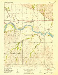
Editions of this 1953 Belvue Map
3 editions found
Other maps of this area

1889 · Wamego
USGS Topo · 1:125,000

1894 · Wamego
USGS Topo · 1:125,000

1953 · Wamego
USGS Topo · 1:24,000

1953 · Maple Hill
USGS Topo · 1:24,000

1953 · Belvue
USGS Topo · 1:24,000

1953 · St Marys
USGS Topo · 1:24,000

1954 · Alma
USGS Topo · 1:24,000

1954 · Mc Farland
USGS Topo · 1:24,000

1955 · Manhattan
USGS Topo · 1:250,000

1956 · Manhattan
USGS Topo · 1:250,000