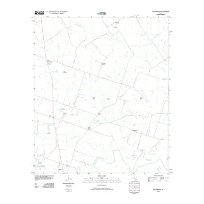
2010 Map of Ben Arnold
USGS Topo · Published 2010About this map
Walkers Creek winds through the heart of this rural Milam County landscape, serving as a central drainage point for the surrounding farm and ranch land. Small crossroads communities and historic settlements like Ben Arnold, Belmena, and Silver City are scattered across the terrain, connected by a network of farm-to-market roads and county routes. The area is characterized by its agricultural heritage, evidenced by numerous named stock tanks and small reservoirs such as Cobb Lake and Knight Lake.
Find a feature on this map
59 named features on this map. Tap any name to fly to it.
Don’t see what you’re looking for? This feature index may not catch every label — zoom into the map to look around manually.
Map Details
Editions of this 2010 Ben Arnold Map
This is the sole edition of this map. No revisions or reprints were ever made.
Other maps of this area

1885 · Taylor
USGS Topo · 1:125,000

1887 · Taylor
USGS Topo · 1:125,000

1892 · Temple
USGS Topo · 1:125,000

1894 · Taylor
USGS Topo · 1:125,000

1954 · Waco
USGS Topo · 1:250,000

1954 · Austin
USGS Topo · 1:250,000

1955 · Waco
USGS Topo · 1:250,000

1961 · Hanover
USGS Topo · 1:24,000

1961 · Cameron
USGS Topo · 1:24,000

1961 · Baileyville
USGS Topo · 1:24,000