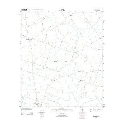
2013 Map of Ben Arnold
USGS Topo · Published 2013About this map
Clarkson and Ben Arnold anchor a predominantly agricultural landscape in northern Milam County. The region is defined by a dense network of country roads and creek drainages, including Little Pond Cr and Walkers Cr, which feed toward the meandering Little River at the southern edge of the survey. Significant for genealogists, the map preserves the locations of several family and community burial grounds such as Vogel Sang Cem, Beale Cem, and Walkers Creek Cem. Small settlements like Silver City, Belmena, and Splawn dot the rural intersections, while the Cameron Muni Airpark and Quinif mark the approach to the county seat. This 2013 data provides a modern record of land use and riparian patterns before significant change, identifying water features like Indian Springs and Cobb Lake amidst the vast prairie-to-river transition.
Find a feature on this map
59 named features on this map. Tap any name to fly to it.
Don’t see what you’re looking for? This feature index may not catch every label — zoom into the map to look around manually.
Map Details
Editions of this 2013 Ben Arnold Map
This is the sole edition of this map. No revisions or reprints were ever made.
Other maps of this area

1885 · Taylor
USGS Topo · 1:125,000

1887 · Taylor
USGS Topo · 1:125,000

1892 · Temple
USGS Topo · 1:125,000

1894 · Taylor
USGS Topo · 1:125,000

1954 · Waco
USGS Topo · 1:250,000

1954 · Austin
USGS Topo · 1:250,000

1955 · Waco
USGS Topo · 1:250,000

1961 · Hanover
USGS Topo · 1:24,000

1961 · Cameron
USGS Topo · 1:24,000

1961 · Baileyville
USGS Topo · 1:24,000