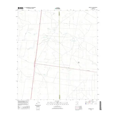
2016 Map of Ben Bolt SE
USGS Topo · Published 2016About this map
The Jim Wells and Kleberg county line bisects this South Texas landscape, defined by an intricate network of intermittent creeks and small ranch lakes. Water management is a central theme of the terrain, with Reservoir Number 4 and various named basins like Trinidad Lake, Patricio Lake, and Olmo Lake pocketing the brush country. These water sources are fed by several seasonal drainages, including Santa Gertrudis Cr and San Andreas Cr, which have historically dictated the placement of ranching infrastructure in this semi-arid region.
Find a feature on this map
16 named features on this map. Tap any name to fly to it.
Don’t see what you’re looking for? This feature index may not catch every label — zoom into the map to look around manually.
Map Details
Editions of this 2016 Ben Bolt SE Map
This is the sole edition of this map. No revisions or reprints were ever made.
Other maps of this area

1917 · Ben Bolt
USGS Topo · 1:62,500

1921 · Falfurrias
USGS Topo · 1:125,000

1928 · Sarita
USGS Topo · 1:125,000

1950 · Corpus Christi
USGS Topo · 1:250,000

1954 · Kingsville
USGS Topo · 1:62,500

1954 · Riviera
USGS Topo · 1:62,500

1956 · Corpus Christi
USGS Topo · 1:250,000

1956 · Laredo
USGS Topo · 1:250,000

1960 · Corpus Christi
USGS Topo · 1:250,000

1963 · Ben Bolt SE
USGS Topo · 1:24,000