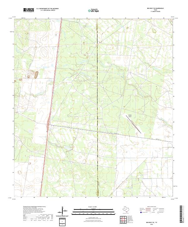
2022 Map of Ben Bolt SE
USGS Topo · Published 2022About this map
The Jim Wells and Kleberg County line bisects this South Texas landscape, where ephemeral water bodies and ranch-adjacent drainage systems define the geography. Broad basins like Trinidad Lake and Las Conchas Lake are key markers in an otherwise subtle terrain, fed by winding seasonal channels such as San Andreas Cr and Trinidad Cr. The movement of water across this scrubland is captured through the complex branching of Santa Gertrudis Cr, which flows eastward toward the coast beyond these bounds.
Find a feature on this map
16 named features on this map. Tap any name to fly to it.
Don’t see what you’re looking for? This feature index may not catch every label — zoom into the map to look around manually.
Map Details
Editions of this 2022 Ben Bolt SE Map
This is the sole edition of this map. No revisions or reprints were ever made.
Other maps of this area

1917 · Ben Bolt
USGS Topo · 1:62,500

1921 · Falfurrias
USGS Topo · 1:125,000

1928 · Sarita
USGS Topo · 1:125,000

1950 · Corpus Christi
USGS Topo · 1:250,000

1954 · Kingsville
USGS Topo · 1:62,500

1954 · Riviera
USGS Topo · 1:62,500

1956 · Corpus Christi
USGS Topo · 1:250,000

1956 · Laredo
USGS Topo · 1:250,000

1960 · Corpus Christi
USGS Topo · 1:250,000

1963 · Ben Bolt SE
USGS Topo · 1:24,000