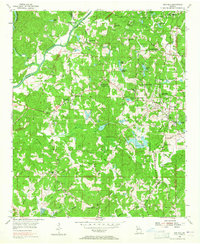
1954 Map of Ben Hill
USGS Topo · Published 1965About this map
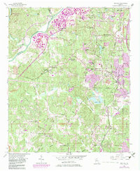
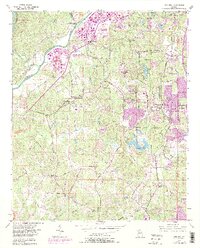
Buzzard Roost Island and the Chattahoochee River define the western boundary of this territory, where the rural landscape of Fulton County was beginning to meet the expanding Atlanta city limits. The map reveals a dense network of country schools and churches that served these communities before mid-century suburbanization, including the Sandtown Sch and Sandtown Community House. The eastern portion is marked by the growing residential footprint of Ben Hill and the presence of the Mt Gilead Campground.
Find a feature on this map
74 named features on this map. Tap any name to fly to it.
Don’t see what you’re looking for? This feature index may not catch every label — zoom into the map to look around manually.
Map Details
Editions of this 1954 Ben Hill Map
6 editions found
Other maps of this area

1888 · Atlanta
USGS Topo · 1:125,000

1890 · Atlanta
USGS Topo · 1:125,000

1891 · Marietta
USGS Topo · 1:125,000

1892 · Atlanta
USGS Topo · 1:125,000

1895 · Atlanta
USGS Topo · 1:125,000

1895 · Marietta
USGS Topo · 1:125,000

1897 · Marietta
USGS Topo · 1:125,000

1901 · Marietta
USGS Topo · 1:125,000

1953 · Atlanta
USGS Topo · 1:250,000

1954 · Palmetto
USGS Topo · 1:24,000