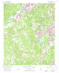
1954 Map of Ben Hill
USGS Topo · Published 1974About this map
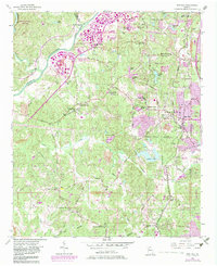
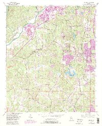
The Chattahoochee River carves the northwestern boundary of this Fulton County landscape, where rural agricultural roots meet the post-war expansion of Atlanta. While the purple revisions of the 1960s and 70s show the steady march of urban development toward the community of Ben Hill, the underlying 1954 topography reveals an older network of country roads like Old Campbellton Road and Boat Rock Road. Numerous local landmarks provide depth for genealogists, including Owl Rock Ch, Mt Gilead Ch, and Sandtown Sch. The presence of the Seaboard Coast Line and various industrial markers, such as the Utoy Sewage Disposal Plant and the City of East Point Reservoir, illustrates the evolving infrastructure required by the growing metropolitan area. Natural features like Utoy Boulder Park and Buzzard Roost Island stand in contrast to the emerging Industrial Park.
Find a feature on this map
68 named features on this map. Tap any name to fly to it.
Don’t see what you’re looking for? This feature index may not catch every label — zoom into the map to look around manually.
Map Details
Editions of this 1954 Ben Hill Map
6 editions found
Other maps of this area

1888 · Atlanta
USGS Topo · 1:125,000

1890 · Atlanta
USGS Topo · 1:125,000

1891 · Marietta
USGS Topo · 1:125,000

1892 · Atlanta
USGS Topo · 1:125,000

1895 · Atlanta
USGS Topo · 1:125,000

1895 · Marietta
USGS Topo · 1:125,000

1897 · Marietta
USGS Topo · 1:125,000

1901 · Marietta
USGS Topo · 1:125,000

1953 · Atlanta
USGS Topo · 1:250,000

1954 · Palmetto
USGS Topo · 1:24,000