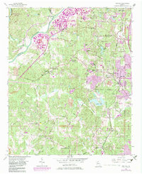
1954 Map of Ben Hill
USGS Topo · Published 1983About this map
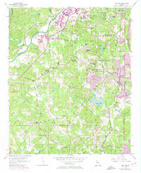
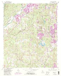
Ben Hill and the southwestern fringes of Atlanta represent a landscape in transition, where established rural communities are meeting the outward push of urban expansion. The western edge is defined by the Chattahoochee River and Buzzard Roost Island, while the interior is marked by a network of historic congregations such as Owl Rock Ch and Poplar Springs Ch. Local education and community life are anchored at Sandtown Sch and the Sandtown Community House, situated near the confluence of Campbellton Road and Stonewall Tell Road.
Find a feature on this map
65 named features on this map. Tap any name to fly to it.
Don’t see what you’re looking for? This feature index may not catch every label — zoom into the map to look around manually.
Map Details
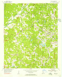
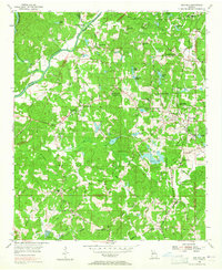
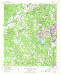
Editions of this 1954 Ben Hill Map
6 editions found
Other maps of this area

1888 · Atlanta
USGS Topo · 1:125,000

1890 · Atlanta
USGS Topo · 1:125,000

1891 · Marietta
USGS Topo · 1:125,000

1892 · Atlanta
USGS Topo · 1:125,000

1895 · Atlanta
USGS Topo · 1:125,000

1895 · Marietta
USGS Topo · 1:125,000

1897 · Marietta
USGS Topo · 1:125,000

1901 · Marietta
USGS Topo · 1:125,000

1953 · Atlanta
USGS Topo · 1:250,000

1954 · Palmetto
USGS Topo · 1:24,000