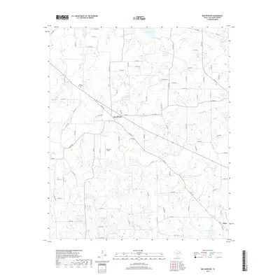
2019 Map of Ben Wheeler
USGS Topo · Published 2019About this map
Ben Wheeler and the small settlement of Eom anchor this modern survey of eastern Van Zandt County, where the landscape is defined by a dense network of seasonal creeks and localized springs. The upper reaches of the Neches River wind through the northeast, fed by numerous tributaries such as Browning Cr and Madcat Br. This area shows a transition from historical agricultural land to a mix of private ranching and modern utility, evidenced by features like Carter Spring and the curiously named Vaca Moo Airport.
Find a feature on this map
90 named features on this map. Tap any name to fly to it.
Don’t see what you’re looking for? This feature index may not catch every label — zoom into the map to look around manually.
Map Details
Editions of this 2019 Ben Wheeler Map
This is the sole edition of this map. No revisions or reprints were ever made.
Other maps of this area
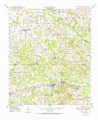
1948 · Brownsboro
USGS Topo · 1:62,500
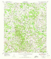
1948 · Martins Mill
USGS Topo · 1:62,500
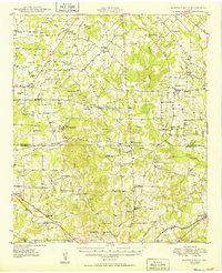
1949 · Martins Mill
USGS Topo · 1:62,500
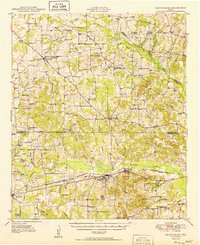
1949 · Brownsboro
USGS Topo · 1:62,500
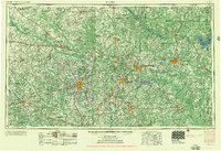
1956 · Tyler
USGS Topo · 1:250,000
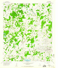
1959 · Van
USGS Topo · 1:24,000
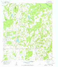
1959 · Van Lake
USGS Topo · 1:24,000
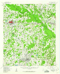
1959 · Grand Saline
USGS Topo · 1:62,500
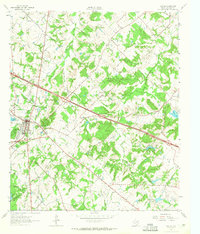
1962 · Canton
USGS Topo · 1:24,000
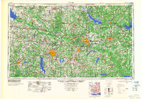
1984 · Tyler
USGS Topo · 1:250,000