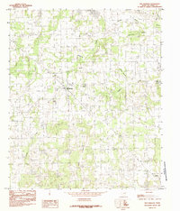
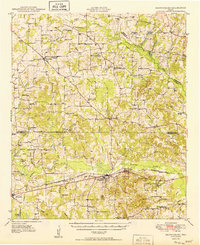
1984 Map of Ben Wheeler
USGS Topo · Published 1984About this map
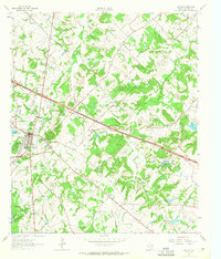
Ben Wheeler and Edom anchor this rural Van Zandt County landscape, which is defined by an intricate network of drainage and local water sources. The Neches River meanders across the northeast, fed by numerous tributaries including Sandy Creek, Browning Creek, and Madcot Branch. Small bodies of water like Rhine Lake, Mitchell Lake, and Shiloh Lake dot the terrain, suggesting a reliance on local reservoirs and springs such as Carter Spring. The presence of Bethlehem Ch and several labeled Cem sites provide critical points of reference for genealogists tracking family heritage in this part of East Texas. As a provisional map based on 1970s field checks, it preserves the mid-century road network and settlement patterns before modern expansion, capturing the area's agricultural and hydrologic character.
Find a feature on this map
16 named features on this map. Tap any name to fly to it.
Don’t see what you’re looking for? This feature index may not catch every label — zoom into the map to look around manually.
Map Details
Editions of this 1984 Ben Wheeler Map
This is the sole edition of this map. No revisions or reprints were ever made.
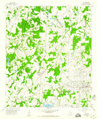
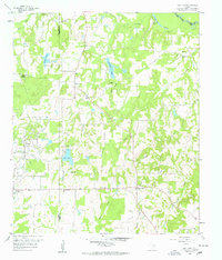
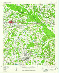
Other maps of this area
1948 · Brownsboro
USGS Topo · 1:62,500
1948 · Martins Mill
USGS Topo · 1:62,500
1949 · Martins Mill
USGS Topo · 1:62,500
1949 · Brownsboro
USGS Topo · 1:62,500

1956 · Tyler
USGS Topo · 1:250,000
1959 · Van
USGS Topo · 1:24,000
1959 · Van Lake
USGS Topo · 1:24,000
1959 · Grand Saline
USGS Topo · 1:62,500
1962 · Canton
USGS Topo · 1:24,000

1984 · Tyler
USGS Topo · 1:250,000