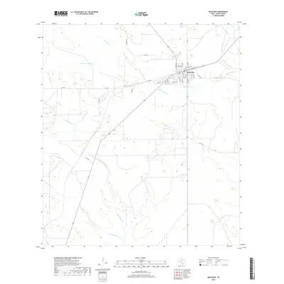
2019 Map of Benavides
USGS Topo · Published 2019About this map
Benavides serves as the central hub of this South Texas landscape, where a grid of residential streets like School St and Texas Blvd meet along the intersection of local thoroughfares. The town’s historical layout is evidenced by its street names, such as Depot St and Main St, pointing to the area's development around transportation and commerce. Surrounding the settlement, the terrain is defined by a dense network of intermittent drainages that carve through the Duval County brush country.
Find a feature on this map
31 named features on this map. Tap any name to fly to it.
Don’t see what you’re looking for? This feature index may not catch every label — zoom into the map to look around manually.
Map Details
Editions of this 2019 Benavides Map
This is the sole edition of this map. No revisions or reprints were ever made.
Other maps of this area

1921 · Falfurrias
USGS Topo · 1:125,000

1956 · Benavides
USGS Topo · 1:62,500

1956 · Laredo
USGS Topo · 1:250,000

1967 · Parrilla Creek SE
USGS Topo · 1:24,000

1967 · Realitos
USGS Topo · 1:24,000

1968 · Concepcion
USGS Topo · 1:24,000

1968 · Benavides NW
USGS Topo · 1:24,000

1968 · San Jose
USGS Topo · 1:24,000

1968 · Benavides
USGS Topo · 1:24,000

1968 · Concepcion NW
USGS Topo · 1:24,000