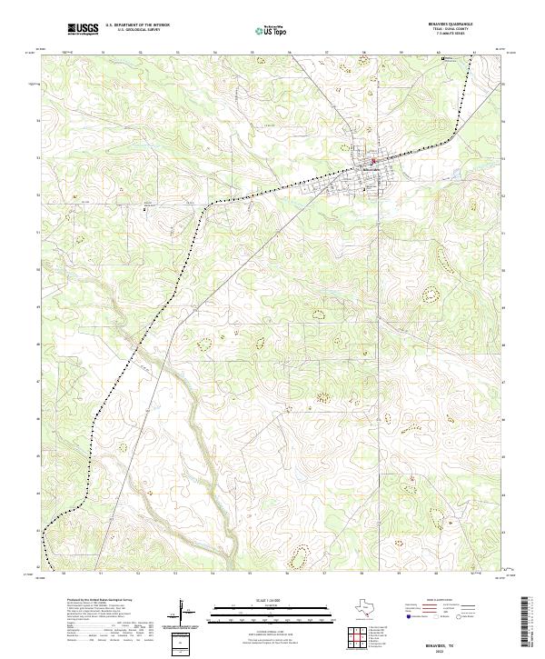
2022 Map of Benavides
USGS Topo · Published 2022About this map
Benavides serves as the primary hub in this South Texas landscape, defined by a distinct grid of streets such as Main St, Texas Blvd, and School St. The town is the focal point of a rural network where ranching and local history intersect, evidenced by the presence of multiple family and community burial grounds. These include Benavides Cem, Rancho Maria Cem to the northwest, and Piedras Pintas Cem positioned near the northeastern corner of the map.
Find a feature on this map
33 named features on this map. Tap any name to fly to it.
Don’t see what you’re looking for? This feature index may not catch every label — zoom into the map to look around manually.
Map Details
Editions of this 2022 Benavides Map
This is the sole edition of this map. No revisions or reprints were ever made.
Other maps of this area

1921 · Falfurrias
USGS Topo · 1:125,000

1956 · Benavides
USGS Topo · 1:62,500

1956 · Laredo
USGS Topo · 1:250,000

1967 · Parrilla Creek SE
USGS Topo · 1:24,000

1967 · Realitos
USGS Topo · 1:24,000

1968 · Concepcion
USGS Topo · 1:24,000

1968 · Benavides NW
USGS Topo · 1:24,000

1968 · San Jose
USGS Topo · 1:24,000

1968 · Benavides
USGS Topo · 1:24,000

1968 · Concepcion NW
USGS Topo · 1:24,000