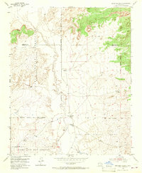
1954 Map of Benavidez Ranch
USGS Topo · Published 1967About this map
The Rio Puerco meanders through this high-desert landscape, carving a distinct corridor through several historic land grants and tribal lands. This mid-century survey documents a sparsely settled region where ranching infrastructure, such as the Rio Puerco Ranch and Benavidez Ranch, anchors the local geography. The map reveals a complex intersection of administrative and ancestral boundaries, including the Laguna Indian Reservation (Bernabe M Montoano Grant) to the west and the Canoncito Navajo Indian Reservation to the south.
Find a feature on this map
12 named features on this map. Tap any name to fly to it.
Don’t see what you’re looking for? This feature index may not catch every label — zoom into the map to look around manually.
Map Details
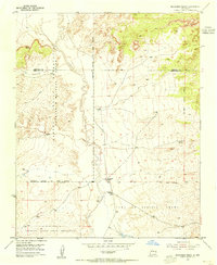
Editions of this 1954 Benavidez Ranch Map
2 editions found
Other maps of this area

1883 · Mt. Taylor
USGS Topo · 1:250,000

1886 · Mt. Taylor
USGS Topo · 1:250,000

1888 · Bernalillo
USGS Topo · 1:125,000

1889 · Albuquerque
USGS Topo · 1:125,000

1892 · Mt. Taylor
USGS Topo · 1:250,000

1893 · Albuquerque
USGS Topo · 1:125,000

1899 · Mt. Taylor
USGS Topo · 1:250,000

1954 · Herrera
USGS Topo · 1:24,000

1954 · Volcano Ranch
USGS Topo · 1:24,000

1954 · Sky Village
USGS Topo · 1:24,000