
2016 Map of Benbrook
USGS Topo · Published 2016About this map
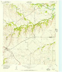
Benbrook Lake dominates the southern landscape of this Tarrant County quadrangle, where the Clear Fork Trinity River is harnessed just south of the growing suburbs. The western edge of Fort Worth is shown in detail, documenting the suburban expansion into neighboring Benbrook and White Settlement. This 2016 survey captures the modern infrastructure of the region, including the Chisolm Trail Pkwy and the intricate junction of SW Loop 820. Despite the heavy residential development, local history remains visible at sites like Como Cem near Lake Como. The map also traces the smaller drainages that define the local topography, such as Marys Creek and Walnut Cr, providing a precise record of how the natural hydrology of North Texas has been integrated into a dense metropolitan environment.
Find a feature on this map
21 named features on this map. Tap any name to fly to it.
Don’t see what you’re looking for? This feature index may not catch every label — zoom into the map to look around manually.
Map Details
Editions of this 2016 Benbrook Map
This is the sole edition of this map. No revisions or reprints were ever made.
Other maps of this area

1891 · Weatherford
USGS Topo · 1:125,000

1893 · Weatherford
USGS Topo · 1:125,000

1894 · Fort Worth
USGS Topo · 1:125,000

1932 · Springtown
USGS Topo · 1:62,500

1954 · Dallas
USGS Topo · 1:250,000

1955 · Haltom City
USGS Topo · 1:24,000

1955 · Burleson
USGS Topo · 1:24,000

1955 · Aledo
USGS Topo · 1:24,000

1955 · Primrose
USGS Topo · 1:24,000
1955 · Cresson
USGS Topo · 1:24,000