
1995 Map of Benbrook
USGS Topo · Published 2001About this map
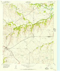
Benbrook Lake dominates the southern landscape of this 1995 survey, situated just downstream from the confluence of Walnut Creek and Dutch Branch. The map documents the extensive suburban and industrial growth of Fort Worth and its western neighbors, White Settlement and Westover Hills. A massive military and transportation presence is evident, defined by the Naval Air Station Joint Reserve Base Fort Worth and the expansive rail infrastructure of Lancaster Yards.
Find a feature on this map
56 named features on this map. Tap any name to fly to it.
Don’t see what you’re looking for? This feature index may not catch every label — zoom into the map to look around manually.
Map Details
Editions of this 1995 Benbrook Map
This is the sole edition of this map. No revisions or reprints were ever made.
Other maps of this area

1891 · Weatherford
USGS Topo · 1:125,000

1893 · Weatherford
USGS Topo · 1:125,000

1894 · Fort Worth
USGS Topo · 1:125,000

1932 · Springtown
USGS Topo · 1:62,500

1954 · Dallas
USGS Topo · 1:250,000

1955 · Haltom City
USGS Topo · 1:24,000

1955 · Burleson
USGS Topo · 1:24,000

1955 · Aledo
USGS Topo · 1:24,000

1955 · Primrose
USGS Topo · 1:24,000
1955 · Cresson
USGS Topo · 1:24,000