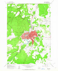
1962 Map of Bend
USGS Topo · Published 1963About this map
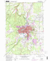
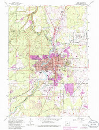
The Deschutes River serves as the central artery for this early 1960s study of Central Oregon, where the city of Bend sits at the intersection of complex irrigation and industrial networks. The downtown core is defined by Mirror Pond, while the surrounding landscape is marked by a series of volcanic features including Pilot Butte and Awbrey Butte. The importance of the regional timber and water infrastructure is evident in the Bend Pine Nursery Unit and the intricate branching of the North Canal and Pilot Butte Canal.
Find a feature on this map
68 named features on this map. Tap any name to fly to it.
Don’t see what you’re looking for? This feature index may not catch every label — zoom into the map to look around manually.
Map Details
Editions of this 1962 Bend Map
6 editions found
Other maps of this area

1926 · Bend
USGS Topo · 1:125,000

1929 · Bend
USGS Topo · 1:125,000

1931 · Newberry Crater
USGS Topo · 1:125,000

1935 · Newberry Crater
USGS Topo · 1:125,000

1955 · Crescent
USGS Topo · 1:250,000

1955 · Bend
USGS Topo · 1:250,000

1957 · Crescent
USGS Topo · 1:250,000

1957 · Bend
USGS Topo · 1:250,000

1958 · Crescent
USGS Topo · 1:250,000

1958 · Bend
USGS Topo · 1:250,000