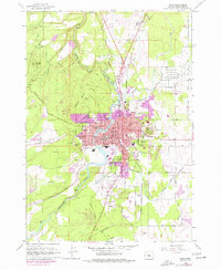
1962 Map of Bend
USGS Topo · Published 1977About this map
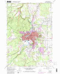
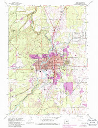
The Deschutes River serves as the central artery for this high-desert community, where the 1962 landscape begins to show the purple-tinted expansion of the 1970s. The town core is defined by civic landmarks like the Courthouse, City Hall, and several local schools including Kenwood Sch and Marshall Sch. This era captures Bend as it evolves from a timber-focused economy, illustrated by the Bend Pine Nursery and the Deschutes National Forest boundary, into a regional hub.
Find a feature on this map
62 named features on this map. Tap any name to fly to it.
Don’t see what you’re looking for? This feature index may not catch every label — zoom into the map to look around manually.
Map Details
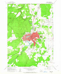
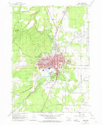
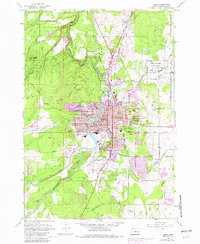
Editions of this 1962 Bend Map
6 editions found
Other maps of this area

1926 · Bend
USGS Topo · 1:125,000

1929 · Bend
USGS Topo · 1:125,000

1931 · Newberry Crater
USGS Topo · 1:125,000

1935 · Newberry Crater
USGS Topo · 1:125,000

1955 · Crescent
USGS Topo · 1:250,000

1955 · Bend
USGS Topo · 1:250,000

1957 · Crescent
USGS Topo · 1:250,000

1957 · Bend
USGS Topo · 1:250,000

1958 · Crescent
USGS Topo · 1:250,000

1958 · Bend
USGS Topo · 1:250,000