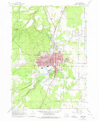
1962 Map of Bend
USGS Topo · Published 1975About this map
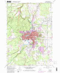
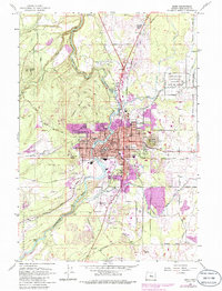
The Deschutes River winds through the heart of Bend, defining the town's early mid-century layout as it passes through Mirror Pond and past numerous parks. This 1962 field-checked survey reveals a community growing around its natural features, with the Oregon Trunk railroad corridor providing a backbone for industry and transport. Residential development is bounded by several prominent volcanic features, including Awbrey Butte, Overturf Butte, and the iconic Pilot Butte.
Find a feature on this map
80 named features on this map. Tap any name to fly to it.
Don’t see what you’re looking for? This feature index may not catch every label — zoom into the map to look around manually.
Map Details
Editions of this 1962 Bend Map
6 editions found
Other maps of this area

1926 · Bend
USGS Topo · 1:125,000

1929 · Bend
USGS Topo · 1:125,000

1931 · Newberry Crater
USGS Topo · 1:125,000

1935 · Newberry Crater
USGS Topo · 1:125,000

1955 · Crescent
USGS Topo · 1:250,000

1955 · Bend
USGS Topo · 1:250,000

1957 · Crescent
USGS Topo · 1:250,000

1957 · Bend
USGS Topo · 1:250,000

1958 · Crescent
USGS Topo · 1:250,000

1958 · Bend
USGS Topo · 1:250,000