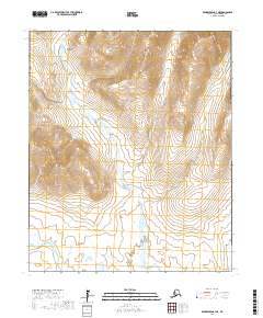
2017 Map of Bendeleben A-3 NE
USGS Topo · Published 2017About this map
The Bendeleben Mountains rise sharply in the northwest corner of this quadrangle, shaping the high-latitude drainage patterns of the Seward Peninsula. This interior landscape is defined by the winding course of the Fish River, which snakes through the central and southern sections of the map, fed by several smaller tributaries. These watercourses were vital for travel and prospecting across the peninsula, particularly the Wagon Wheel Cr and Boston Creek systems. The map illustrates a largely uninhabited expanse where topographic contours reveal the complex alpine terrain and the broad valley floors of the river basin, providing a detailed look at the geographical features that directed early exploration and modern land management in this part of Alaska.
Find a feature on this map
10 named features on this map. Tap any name to fly to it.
Don’t see what you’re looking for? This feature index may not catch every label — zoom into the map to look around manually.
Map Details
Editions of this 2017 Bendeleben A-3 NE Map
This is the sole edition of this map. No revisions or reprints were ever made.
Other maps of this area

1950 · Bendeleben B-2
USGS Topo · 1:63,360

1950 · Bendeleben A-3
USGS Topo · 1:63,360

1950 · Bendeleben A-2
USGS Topo · 1:63,360

1950 · Bendeleben B-3
USGS Topo · 1:63,360

1950 · Bendeleben
USGS Topo · 1:250,000

1951 · Bendeleben
USGS Topo · 1:250,000

1964 · Bendeleben
USGS Topo · 1:250,000
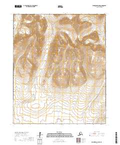
2017 · Bendeleben A-2 NW
USGS Topo · 1:25,000
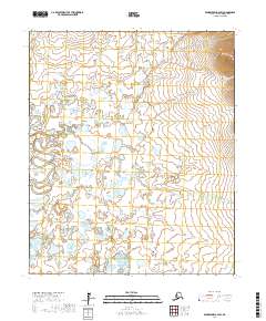
2017 · Bendeleben A-2 SW
USGS Topo · 1:25,000
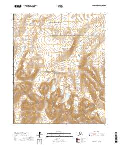
2017 · Bendeleben B-2 SW
USGS Topo · 1:25,000