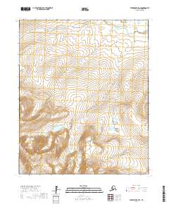
2017 Map of Bendeleben B-2 SE
USGS Topo · Published 2017About this map
Seward Peninsula terrain dominates this landscape, characterized by high-elevation ridges and the headwaters of vital regional waterways. In the northern reaches, the Koyuk River carves through the interior, while the southern portion of the sheet is defined by the upper drainage of the Tubutulik River. The map provides a clear look at the topographic character of this remote section of Alaska before modern development, showing the complex drainage patterns that define the subarctic wilderness. These river systems have historically served as critical corridors for movement across the peninsula, linking the interior uplands with the coastal regions beyond these boundaries.
Find a feature on this map
9 named features on this map. Tap any name to fly to it.
Don’t see what you’re looking for? This feature index may not catch every label — zoom into the map to look around manually.
Map Details
Editions of this 2017 Bendeleben B-2 SE Map
This is the sole edition of this map. No revisions or reprints were ever made.
Other maps of this area

1950 · Bendeleben B-2
USGS Topo · 1:63,360

1950 · Bendeleben B-1
USGS Topo · 1:63,360

1950 · Bendeleben A-2
USGS Topo · 1:63,360

1950 · Bendeleben A-1
USGS Topo · 1:63,360

1950 · Bendeleben
USGS Topo · 1:250,000

1951 · Bendeleben
USGS Topo · 1:250,000

1964 · Bendeleben
USGS Topo · 1:250,000
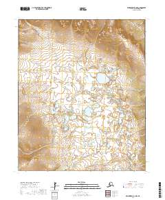
2017 · Bendeleben A-1 NW
USGS Topo · 1:25,000
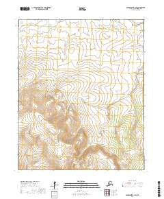
2017 · Bendeleben B-1 SW
USGS Topo · 1:25,000
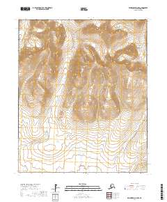
2017 · Bendeleben A-2 NW
USGS Topo · 1:25,000