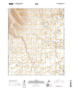
2017 Map of Bendeleben B-5 NW
USGS Topo · Published 2017About this map
Kuzitrin River winds through the southeastern reaches of this Seward Peninsula landscape, defining the primary drainage for a series of interior creeks. The terrain transitions from the high elevations surrounding Mabel Cr and Gillette Cr in the north to a low-lying, pond-dense basin in the south. This area, largely divided by the boundaries of t1n r28w and t1s r27w, reveals a complex network of waterways including Mascot Cr and Little Garfield Cr. The concentration of small lakes and marshes in the southern townships suggests a permafrost-influenced tundra environment where drainage is restricted, a characteristic common to the Nome Census Area's interior wilderness.
Find a feature on this map
12 named features on this map. Tap any name to fly to it.
Don’t see what you’re looking for? This feature index may not catch every label — zoom into the map to look around manually.
Map Details
Editions of this 2017 Bendeleben B-5 NW Map
This is the sole edition of this map. No revisions or reprints were ever made.
Other maps of this area

1950 · Bendeleben C-5
USGS Topo · 1:63,360

1950 · Bendeleben B-5
USGS Topo · 1:63,360

1950 · Bendeleben B-6
USGS Topo · 1:63,360

1950 · Bendeleben C-6
USGS Topo · 1:63,360

1950 · Bendeleben
USGS Topo · 1:250,000

1951 · Bendeleben
USGS Topo · 1:250,000

1964 · Bendeleben
USGS Topo · 1:250,000
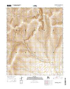
2014 · Bendeleben C-5 SW
USGS Topo · 1:25,000
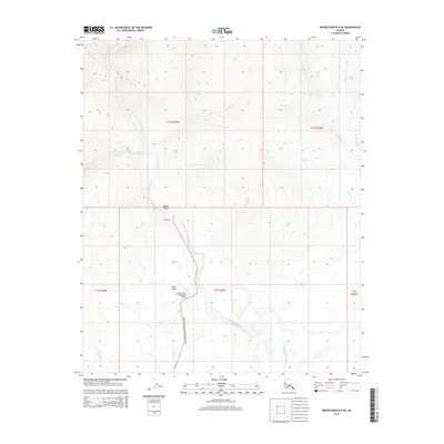
2014 · Bendeleben B-6 NE
USGS Topo · 1:25,000
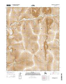
2014 · Bendeleben C-6 SE
USGS Topo · 1:25,000