
1950 Map of Bendeleben C-1
USGS Topo · Published 1955About this map
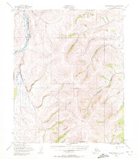
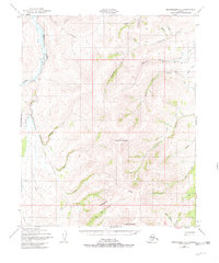
The Kugruk River meanders along the western edge of this territory, where a solitary Cabin stands near its banks, representing the sparse human footprint in this Seward Peninsula landscape. Surveyed in 1950, the map documents a network of hydraulic engineering through numerous Ditch labels, particularly flanking Candle Creek and Canoe Creek. These features, alongside Gold Run and Bonanza Creek, indicate the area's legacy of placer mining and the infrastructure required to move water across the tundra. Transportation and communication are defined by the Winter Trail and a Tel Line that cut through the eastern valleys. Dominating the central and southern terrain are the prominent peaks of Monument Mountain and Kiwalik Mountain, which anchor a complex system of drainages including Glacier Creek and Dominion Creek.
Find a feature on this map
31 named features on this map. Tap any name to fly to it.
Don’t see what you’re looking for? This feature index may not catch every label — zoom into the map to look around manually.
Map Details
Editions of this 1950 Bendeleben C-1 Map
3 editions found
Other maps of this area

1950 · Bendeleben B-2
USGS Topo · 1:63,360

1950 · Bendeleben C-2
USGS Topo · 1:63,360

1950 · Bendeleben B-1
USGS Topo · 1:63,360

1950 · Bendeleben D-2
USGS Topo · 1:63,360

1950 · Bendeleben
USGS Topo · 1:250,000

1950 · Bendeleben D-1
USGS Topo · 1:63,360

1950 · Candle B-6
USGS Topo · 1:63,360

1950 · Candle C-6
USGS Topo · 1:63,360

1951 · Candle
USGS Topo · 1:250,000

1951 · Bendeleben
USGS Topo · 1:250,000