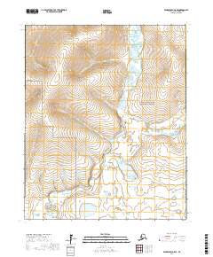
2017 Map of Bendeleben C-5 SE
USGS Topo · Published 2017About this map
The Bering Land Bridge National Preserve dominates this section of the Seward Peninsula, protecting a landscape where the Noxapaga River and its numerous tributaries meander through the tundra. This 2017 survey details a remote watershed shaped by the E Fork Noxapaga River and Agnes Lake, highlighting the intricate hydrography of the Nome Census Area. Smaller drainages with prospect-era names like Black Gulch, Humboldt Cr, and Aurora Cr underscore the region's connection to the historical mining activities of northern Alaska. The map traces the paths of Buzzard Cr, Black Cr, and Grouse Cr, providing a precise record of the terrain within the preserve's boundaries. This document is an essential resource for understanding the contemporary geography of one of the most remote and protected landscapes in the United States.
Find a feature on this map
20 named features on this map. Tap any name to fly to it.
Don’t see what you’re looking for? This feature index may not catch every label — zoom into the map to look around manually.
Map Details
Editions of this 2017 Bendeleben C-5 SE Map
This is the sole edition of this map. No revisions or reprints were ever made.
Other maps of this area

1950 · Bendeleben C-5
USGS Topo · 1:63,360

1950 · Bendeleben B-5
USGS Topo · 1:63,360

1950 · Bendeleben B-4
USGS Topo · 1:63,360

1950 · Bendeleben C-4
USGS Topo · 1:63,360

1950 · Bendeleben
USGS Topo · 1:250,000

1951 · Bendeleben
USGS Topo · 1:250,000

1964 · Bendeleben
USGS Topo · 1:250,000
2014 · Bendeleben C-5 SW
USGS Topo · 1:25,000
2014 · Bendeleben C-5 NW
USGS Topo · 1:25,000
2017 · Bendeleben B-5 NE
USGS Topo · 1:25,000