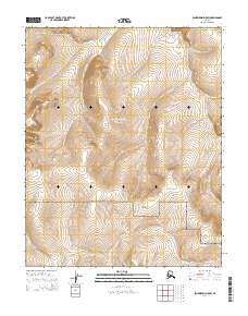
2014 Map of Bendeleben D-5 SW
USGS Topo · Published 2014About this map
The Bering Land Bridge National Preserve dominates this section of the Seward Peninsula, protecting a landscape that historically served as a vital migration corridor between continents. The Continental Divide winds through the southern portion of the quadrangle, serving as a primary hydrologic separator for the region's watersheds. This 2014 survey documents a remote wilderness defined by its drainage systems, including Taylor Cr, Humbolt Cr, and Ballarat Cr, which flow through the tundra. These waterways and the high ground of the divide provided the essential navigation landmarks for early explorers and indigenous peoples moving across this stretch of the Alaska interior. The absence of modern infrastructure underscores the preserved nature of this federal land, maintaining the same character it has held for centuries.
Find a feature on this map
12 named features on this map. Tap any name to fly to it.
Don’t see what you’re looking for? This feature index may not catch every label — zoom into the map to look around manually.
Map Details
Editions of this 2014 Bendeleben D-5 SW Map
This is the sole edition of this map. No revisions or reprints were ever made.
Other maps of this area

1950 · Bendeleben C-5
USGS Topo · 1:63,360

1950 · Bendeleben C-6
USGS Topo · 1:63,360

1950 · Bendeleben D-6
USGS Topo · 1:63,360

1950 · Bendeleben D-5
USGS Topo · 1:63,360

1950 · Bendeleben
USGS Topo · 1:250,000

1951 · Bendeleben
USGS Topo · 1:250,000

1964 · Bendeleben
USGS Topo · 1:250,000
2014 · Bendeleben D-5 NW
USGS Topo · 1:25,000
2014 · Bendeleben D-6 SE
USGS Topo · 1:25,000
2014 · Bendeleben D-6 NE
USGS Topo · 1:25,000