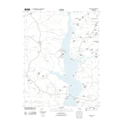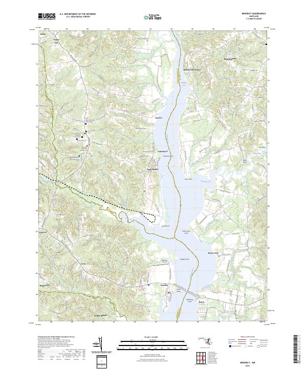
1953 Map of Benedict
USGS Topo · Published 1968About this map
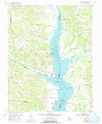
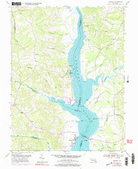
The Patuxent River serves as the central artery for this 1953 study, where the boundaries of Prince Georges, Charles, Calvert, and Saint Marys counties converge. The village of Benedict sits prominently on the western shore, anchored by a Toll Bridge and the Benedict Sch. This map illustrates a landscape shaped by river access, featuring several historic landing points and wharves such as Leitch Wharf, Deep Landing, and Holland Cliff. Moving inland, the terrain transitions into a series of small agricultural and residential clusters like Aquasco, Eagle Harbor, and Poplar Hill. Notable local landmarks include the John Wesley Ch and numerous points along the riverbank, including Chalk Pt and Town Pt. The intricate network of tidal creeks, including Hunting Creek and Swanson Creek, reveals the deep connection between the Chesapeake's tributary systems and the local economy during the mid-twentieth century.
Find a feature on this map
43 named features on this map. Tap any name to fly to it.
Don’t see what you’re looking for? This feature index may not catch every label — zoom into the map to look around manually.
Map Details
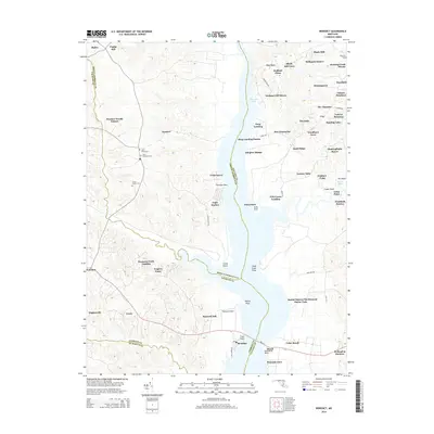
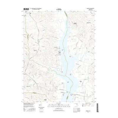
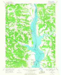
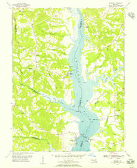
Editions of this 1953 Benedict Map
5 editions found
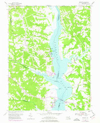
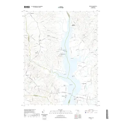
Historical Maps of Aquasco Through Time
6 maps found