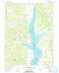
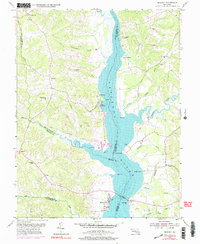
1953 Map of Benedict
USGS Topo · Published 1991About this map
The Patuxent River serves as the central artery for this region of Southern Maryland, carving a wide path between the border of Prince Georges and Calvert counties. The waterfront character is defined by several landings and points, such as Deep Landing, Trueman Pt, and Leitch Wharf, which historically served as vital conduits for river commerce. Further south, the community of Benedict sits near a prominent Toll Bridge, marking a significant crossing point into Calvert County.
Find a feature on this map
53 named features on this map. Tap any name to fly to it.
Don’t see what you’re looking for? This feature index may not catch every label — zoom into the map to look around manually.
Map Details
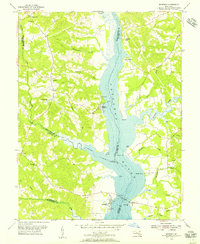
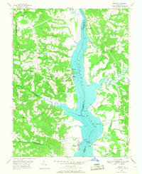
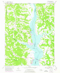
Editions of this 1953 Benedict Map
5 editions found
Other maps of this area

1892 · Leonardtown
USGS Topo · 1:62,500

1892 · Prince Frederick
USGS Topo · 1:62,500

1892 · Brandywine
USGS Topo · 1:62,500

1894 · Wicomico
USGS Topo · 1:62,500

1895 · Prince Frederick
USGS Topo · 1:62,500

1895 · Wicomico
USGS Topo · 1:62,500

1895 · Brandywine
USGS Topo · 1:62,500

1895 · Leonardtown
USGS Topo · 1:62,500

1895 · Nomini
USGS Topo · 1:125,000

1898 · Nomini
USGS Topo · 1:125,000