Loading...
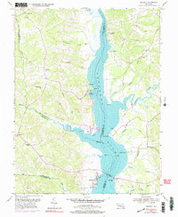
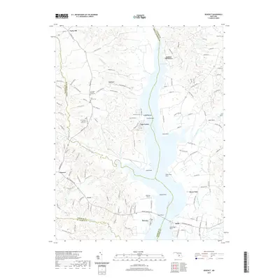
Loading map...1953 Map of Benedict
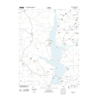
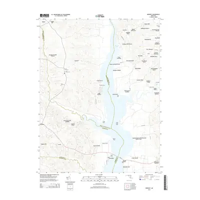
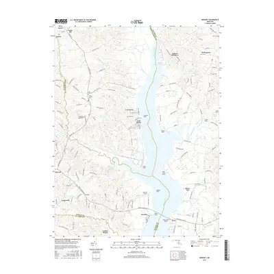
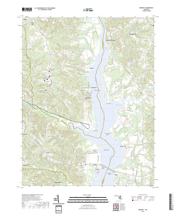
USGS Topo · Published 1977About this map
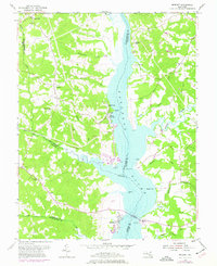
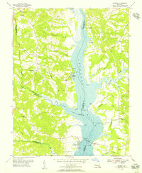
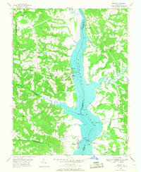
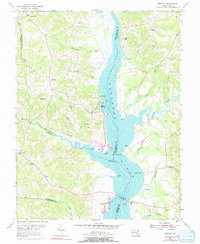
The Patuxent River bisects this landscape, serving as a significant geographical and political boundary between Prince Georges, Charles, and Calvert Counties. Along the western shore, the community of Benedict sits near a prominent Toll Bridge and the Benedict Sch, reflecting the river's role in local transit and education. Further north, the waterfront settlements of Eagle Harbor and Cedarhaven are joined by smaller inland hamlets like Aquasco and Poplar Hill.
Find a feature on this map
50 named features on this map. Tap any name to fly to it.
Don’t see what you’re looking for? This feature index may not catch every label — zoom into the map to look around manually.
Map Details
Date Portrayed1953
Date Published1977
PublisherU.S. Geological Survey
Map TypeTopographic
Scale1:24,000
Physical Dimensions21.9 x 26.8 inches
Editions of this 1953 Benedict Map
5 editions found
Historical Maps of Aquasco Through Time
6 maps found
Featured Locations
Source Details
SourceU.S. Geological Survey
CopyrightPublic Domain